Types of Surveys
Often times a client approaches us because they have been told they need a survey by their realtor or lawyer. What they don’t know is the options available to them as to the type of surveying services available. We can help you choose the services that Professional Land Surveyors offer and mix and match them in the most cost effective manner for your project. We have organized some of the surveying services into categories below.
ALTA Land Title Surveys
The American Land Title Association (ALTA) surveys are surveys that adhere to minimum standards set forth by the American Land Title Association and the American Congress on Surveying and Mapping. These surveys are designed to address specific needs, unique to title insurance matters, that help when asked to insure title to land without exception as to the many matters which might be discoverable from survey and inspection, and which are not evidenced by the public records. Field work for ALTA Surveys includes observing:
- Monuments
- Rights of Way and Access
- Lines of Possession, and Improvements along the Boundaries
- Buildings
- Easements and Servitudes
- Cemeteries
- Water Features
Additional information of ALTA. surveys may be found on the National Society of Professional Surveyors page
Construction Staking
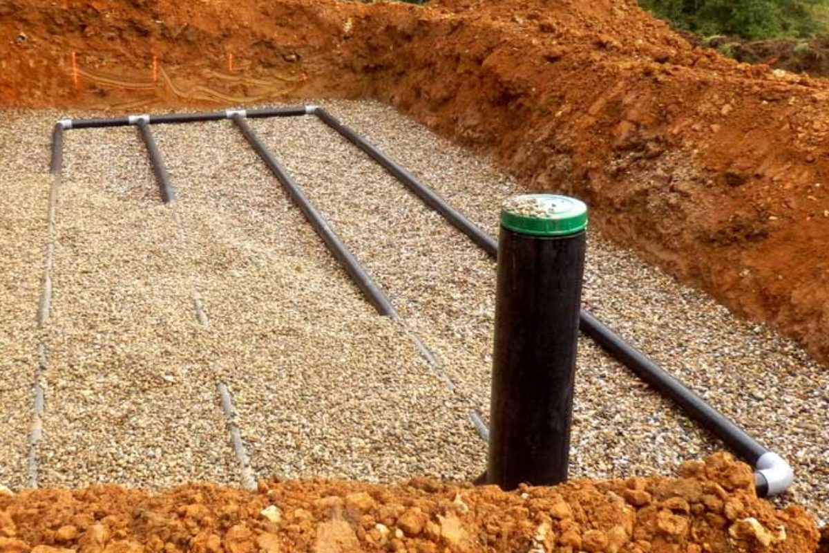
Construction Staking is also know as a Site Layout Survey. This is often where the proverbial tire meets the pavement. Designs have been completed and it is time to put the project on the ground. How do you ensure that the drives, buildings, well, septic system, or road will be located correctly on the lot? Time to talk to your surveyor. We can work off your plans and provide staking to the level of precision your project requires ensuring a project is built to engineering design plans.
Boundary Marking
Marking boundaries is an essential part of the surveying discipline. Having a clear marking of where your property boundaries are protects your interest and helps avoid costly future property disputes. Reasons for marking a line may vary from marking lot corners to determine the extents of a parcel to providing points on line for construction of a fence or ensuring setback compliance. Regardless of your project we can custom tailor a marking package to meet your needs.
Plat of Survey
A Plat of Survey is the basic survey map required by Chapter A-E 7. and is typically conducted when a property owner is looking to determine extents of their parcel. This survey in combination with line marking provides a detailed ground truthing of deeded property lines.
Chapter A-E 7 establishes the minimum standards for property surveys. Based on these requirements the professional land surveyor and his or her client may agree in a signed statement to exclude any land surveying work from the requirements. Typical plat of survey maps are:
- Drawn on a media with a minimum size of 8 ½ x 11 inches
- Graphically illustrated by a bar scale on each map sheet containing a graphical depiction of the survey.
- Referenced as provided in s. 59.73 (1), with a north arrow and reference to a monumented line.
- Show length and bearings of the parcels surveyed.
- Describe all monuments used for determining location of the parcel boundary.
- Show observed evidence of possession or use by others in the parcel or across any perimeter line of the property.
- Bear a stamp or seal of the Professional Land Surveyor.
Certified Survey Maps
Certified Survey Maps are often required for the creation of new parcels. Certified Survey Maps are similiar in requirements to Plat of Surveys but with additional constraints and requirements as presented in WI State Statutes 236.34.
Additional Requirements include:
- The error in the latitude and departure closure of the survey may not exceed the ratio of one in 3,000.
- All corners shall be monumented in accordance with s. 236.15 (1) (ac), (c), (d), and (g).
- A certified survey map may be used to change the boundaries of lots and outlots within a recorded plat, recorded assessor’s plat, or recorded certified survey map.
- Are subject to county approval authority.
- Shall be recorded with the Register of Deeds.
Full requirements are available in the WI Stat Statutes Chapter 236.
Easements
Easements may be prepared for a variety of purposes. Easements typically are written to convey a portion of property rights to another. A licensed Professional Land Surveyor will prepare the legal description used in an easement. Language regarding the rights transferred or retained through an easement is often developed by a clients attorney to meet their specific requirements.
Floodplain Services
Federal Emergency Management Agency (FEMA) is the Federal Agency responsible for property’s flood maps and flood risk zones. Based on maps and flood risk zones homeowners may or may not be required to carry flood insurance. Flood insurance can cost thousands of dollars per year and in some cases flood insurance rates can be lowered or the requirement for insurance removed with the help of your Professional Land Surveyor.
LOMA
Based on site specifics and specific circumstances a land owner may be eligible to request a Letter of Map Amendment (LOMA) to remove a portion of their property from the flood plain. If after performing an elevation survey our Licensed Professional Land Surveyor determines the site is above the base flood elevation we can apply for a LOMA to remove the property from the floodplain.
LOMR-F
Based on site specifics and specific circumstances a land owner may be eligible to request a Letter of Map Revision Based on Fill (LOMR-F) allowing the addition of fill to remove a portion of property from the flood plain. In order to complete the application elevation data must be included from a Licensed Professional Land Surveyor. Our licensed Professional Land Surveyor will take you through the process from site verification to preparing the application to obtaining necessary approvals from the local regulatory agency.
https://www.fema.gov/homeowners-frequently-asked-questions
Elevation Certificates
An Elevation Certificate is a document prepared by a licensed Professional Land Surveyor to demonstrate improvements in a Special Flood Hazard Areas (SFHAs) are properly elevated or to be used by a land owner to obtain flood insurance.
As flood insurance subsidies expire it has become necessary for property owners in high risk areas to obtain Elevation Certificates. An Elevation Certificate will help a property owner determine thier full risk rate and mitigation options. In some cases this additional information can result in lower flood insurance rates.


